

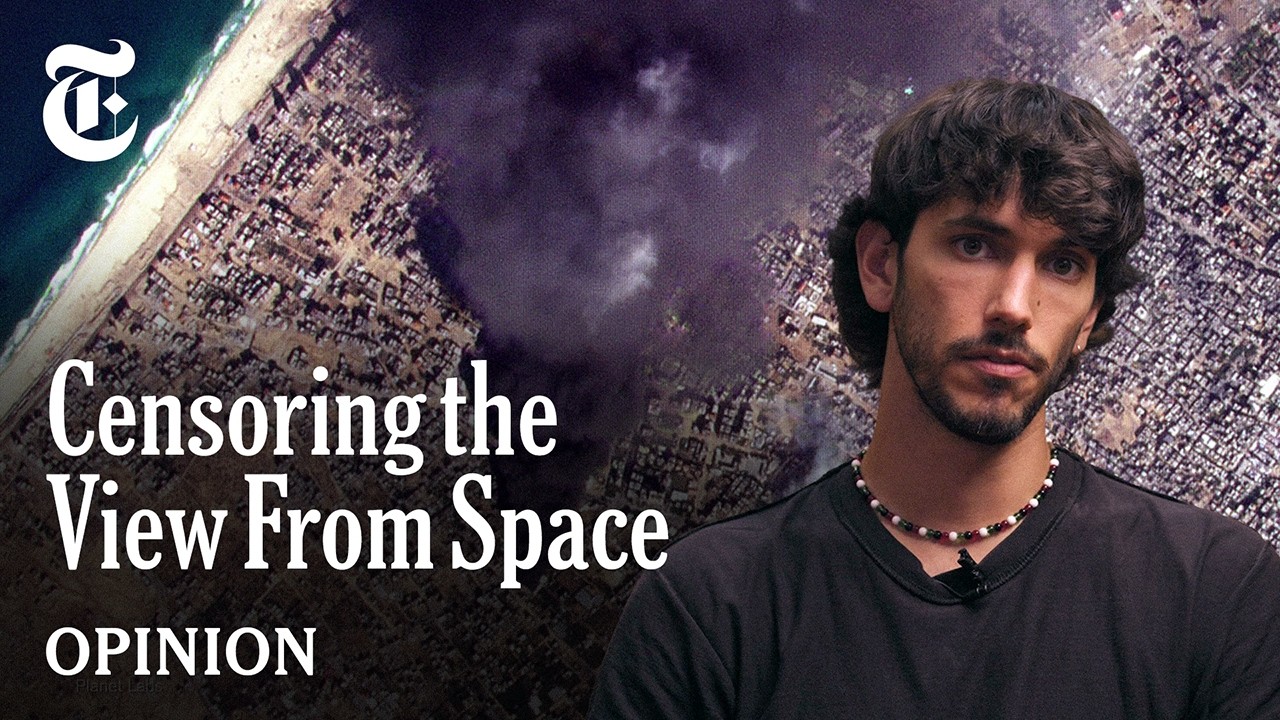
The U.S. government is trying to censor your view from space.
Ollie Ballinger, an open-source researcher and lecturer, uses satellite imagery to monitor conflicts around the world. But he says pressure from the government has prompted private companies to restrict access to images of places it may not want the public to see.
Why would companies listen to these requests? “Any pressure from the U.S. government carries a lot of weight for these companies,” Mr. Ballinger says, “because the American government is their biggest customer.”
In the Opinion video above, he reveals how these restrictions are limiting a vital tool for accountability and public safety and warns of a future in which governments have the power to control what the public can see and, ultimately, what it can know.
Russia does the same in occupied Crimea, for example. In many other authoritarian countries such as China, Iran, North Korea, mapping services are restricted or outright banned for political reasons.