

The UN General Assembly has voted to adopt a map that more accurately shows the size of the continents. Only the United States voted against the measure, which projects the country as smaller than on traditional maps.
You must log in or register to comment.
Switching from true to angles to true to area is going from bad to worse.
Just use a map that isn’t contiguous. E.g. one split in the oceans so the countries far away from the zero meridian don’t look absolutely mangled. Most people live in the far east after all.
Weeeeeee!

The average person lives at 30 degrees latitude, not 45 degrees. Going wider reduces distortion for most people while increasing it for a small minority:
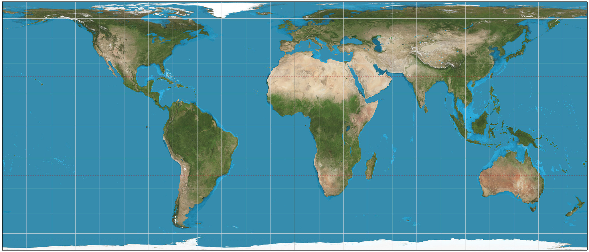
They actually voted to use the Equal Earth projection, not Peter’s projection
